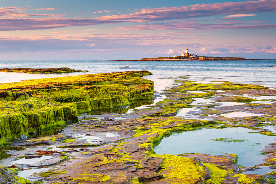
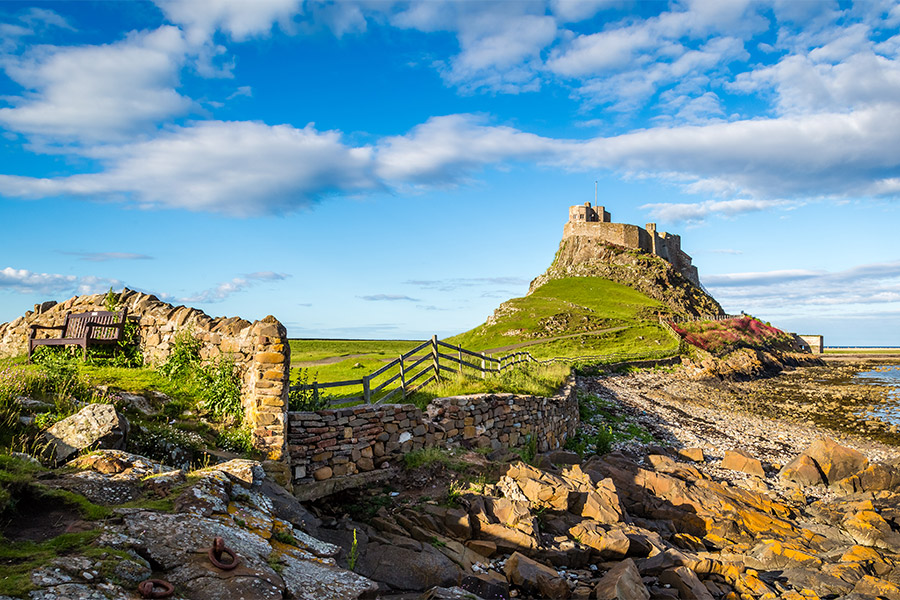
The northern county of Northumberland is flanked by Cumbria to the west, the Scottish Borders to the north and a spectacular eastern coastline reaching out into the North Sea.
The county is noted for its undeveloped landscape of high moorland, now largely protected as the Northumberland National Park. Northumberland is the least densely populated county in England, with only 62 people per square kilometre.
The Cheviot Hills, in the northwest of the county, consist mainly of resistant Devonian granite and andesite lava. A second area of igneous rock underlies the Whin Sill (on which Hadrian's Wall runs), an intrusion of Carboniferous dolerite. Both ridges support a rather bare moorland landscape. Either side of the Whin Sill the county lies on Carboniferous Limestone, giving some areas of karst landscape.
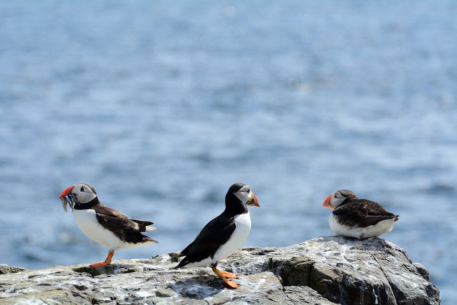
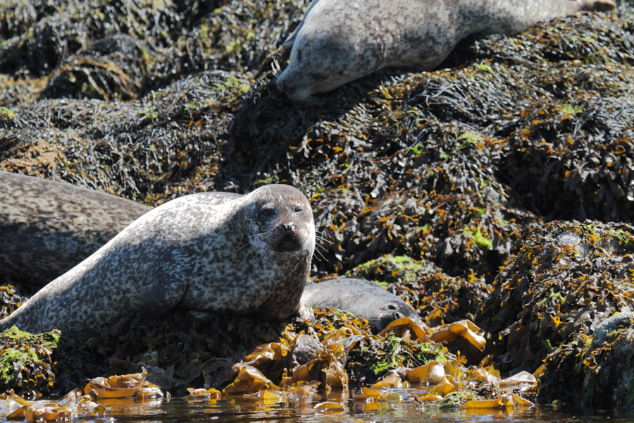
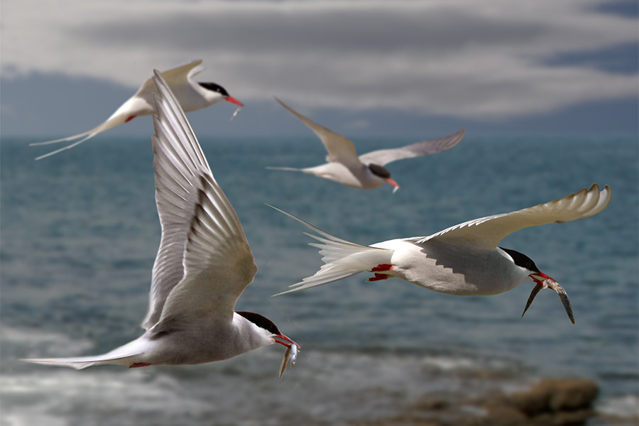
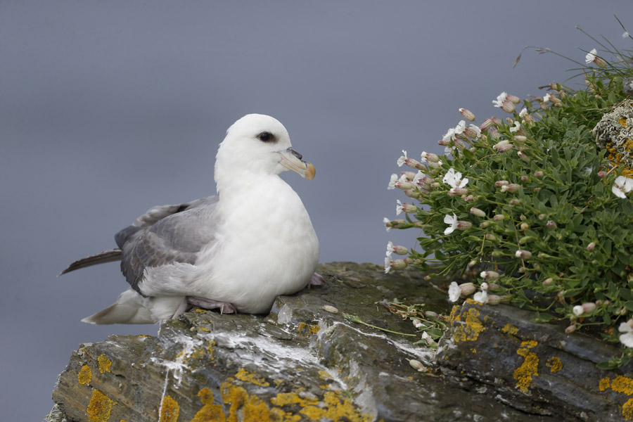
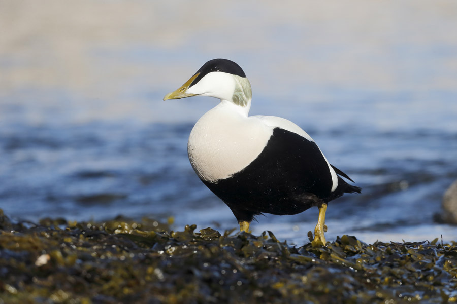
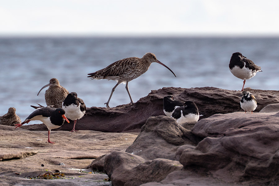
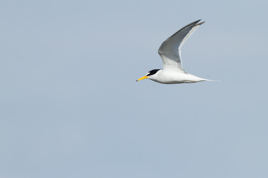
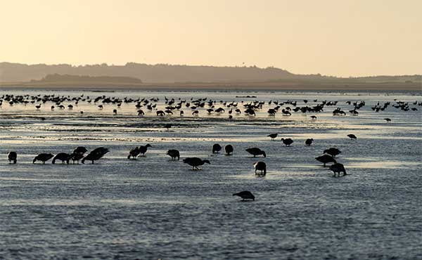
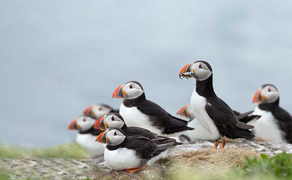
Lying off the coast of Northumberland are the Farne Islands, another dolerite outcrop, famous for their astounding birdlife, especially in spring and summer. There are between 15 and 20 islands in the Farnes, depending on the state of the tide. They are scattered between one and five miles from the mainland, divided into two groups, the Inner and Outer Farnes. These are separated by Staple Sound. The highest point, on Inner Farne, is just 19 metres above mean sea level.
View suggested itineraries