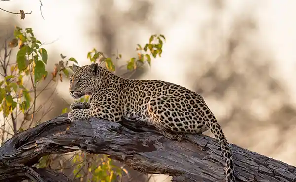
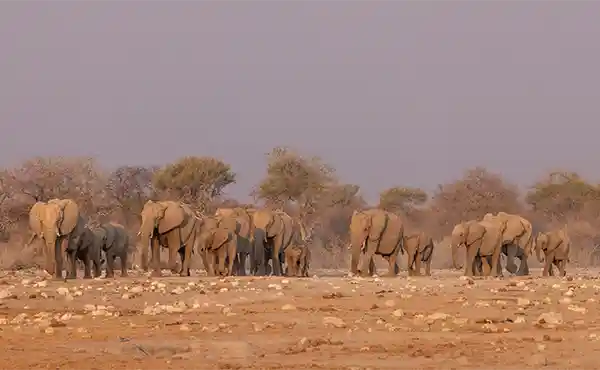
The Caprivi is a 400-kilometre-long, narrow corridor of land in northeast Namibia. As the country’s wettest region, it sustains a wide variety of birds and animals, with elephants particularly numerous.
The strip runs between Angola to the north and Botswana to the south, linking it to Zambia. It has a tropical climate zone so, unlike the rest of the country, has high rainfall during the rainy season (December to March). It has a number of major rivers such as the Okavango, Kwando and Zambezi, as well as smaller rivers like the Linyanti and the Chobe.
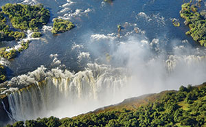
Various reserves – Bwabwata, Mudumu, Lizauli, and Mamili – protect the region’s wildlife. The tarmac Caprivi Highway was built to replace the old dirt road, which was barely passable during the rainy season, with the result that both Chobe National Park in Botswana and Victoria Falls in Zimbabwe are now readily accessible and easily combined on our African Adventure trip.
Some 200 kilometres east of Rundu, in the western part of the Caprivi, lies one of Namibia’s scenic highlights: Popa Falls, the Okavango River breaks through a four-metre-high rocky intrusion in its course, surrounded by beautiful nature.
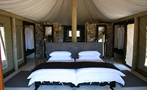
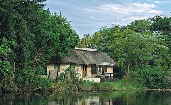
The main centre of the Caprivi region is the small town of Katima Mulilo, which lies at its eastern tip on the banks of the Zambezi River, where there are some attractive lodges.
View suggested itineraries